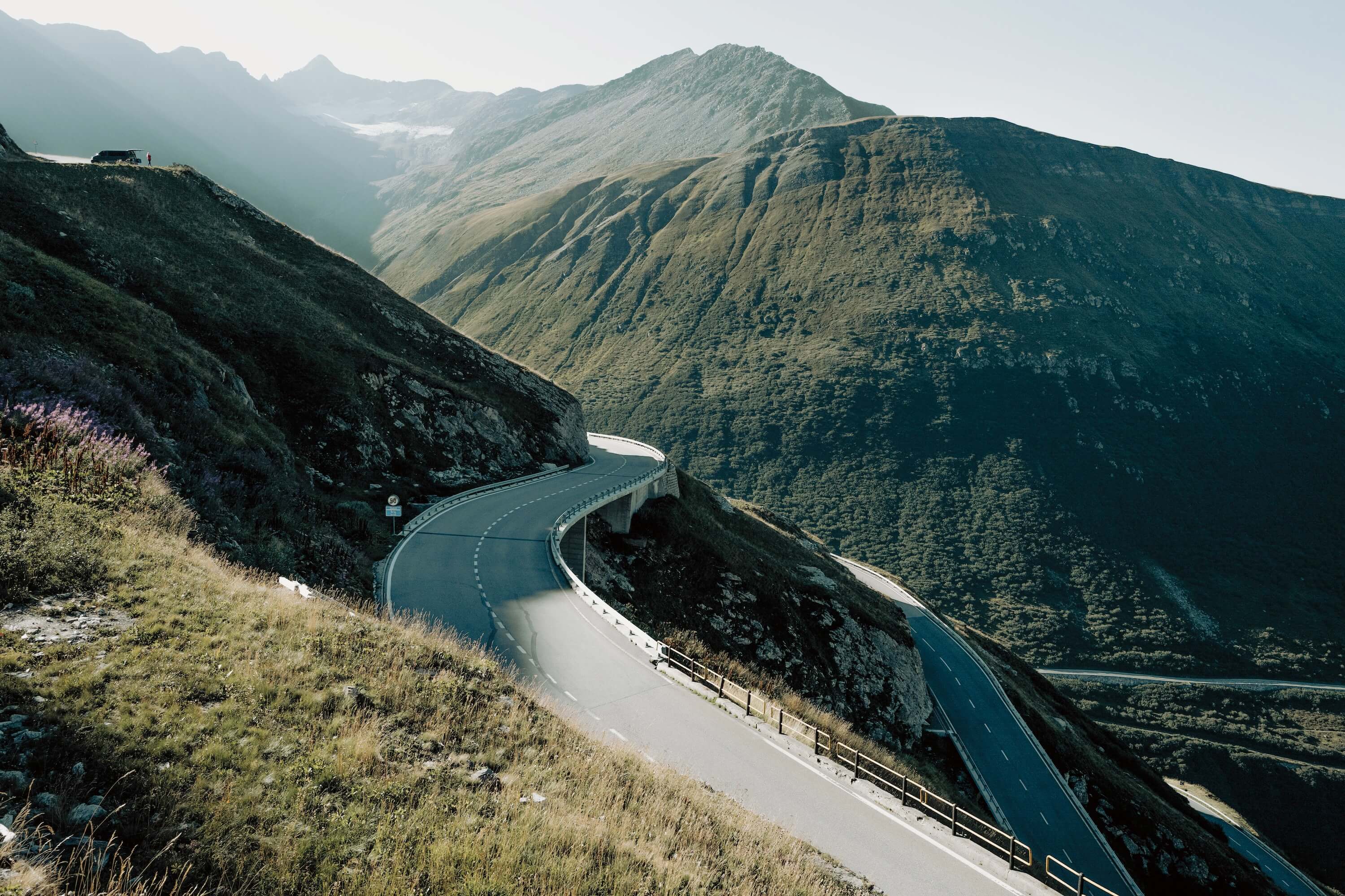
Furka Pass History
The Furka Pass has long been shaped by the Rhône Glacier, which once extended much further down the valley than it does today. Its retreat has left the glacier far below and out of sight from much of the pass. The Romans were among the first to use the route for trade, connecting the Rhône valley with the Alpine passes beyond.
The pass was improved during the 18th and 19th centuries as Alpine routes became increasingly important for trade and military movement. Later, during the Second World War, the Furka region became part of Switzerland's National Redoubt, a defensive strategy designed to protect the country's most important Alpine positions. Many of the fortifications built during this period can still be found today, hidden among the landscape.
Goldfinger and James Bond
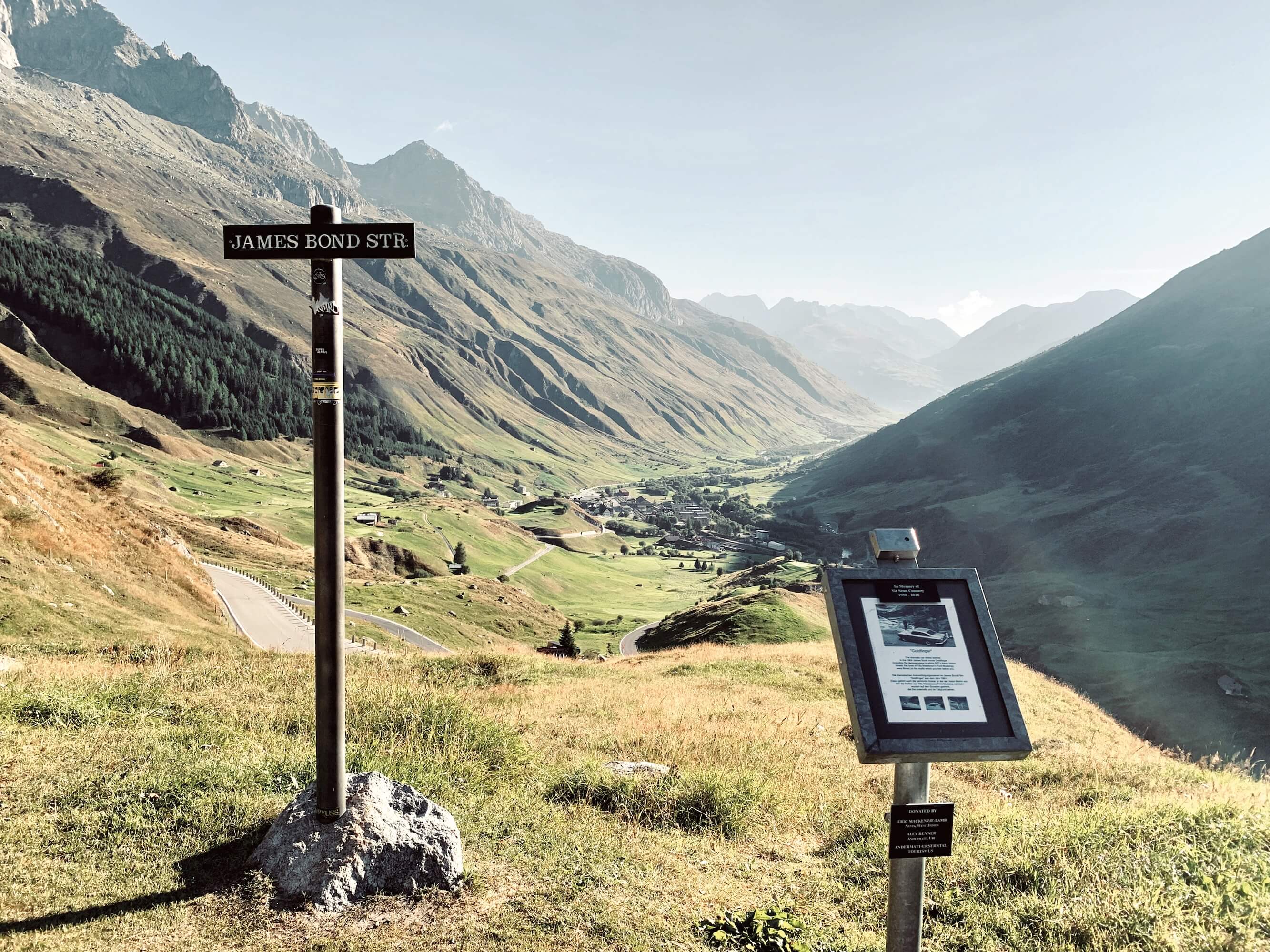
The 1964 James Bond film Goldfinger immortalised the pass when the summit road was still largely gravel. The hairpins on the Realp side were used for the scene where Tilly Masterson attempts to shoot Auric Goldfinger. Today, a street sign marks the location, James Bond Strasse. An additional commemorative sign was added in 2020 marking the life of Sean Connery.
The Furka Pass Road
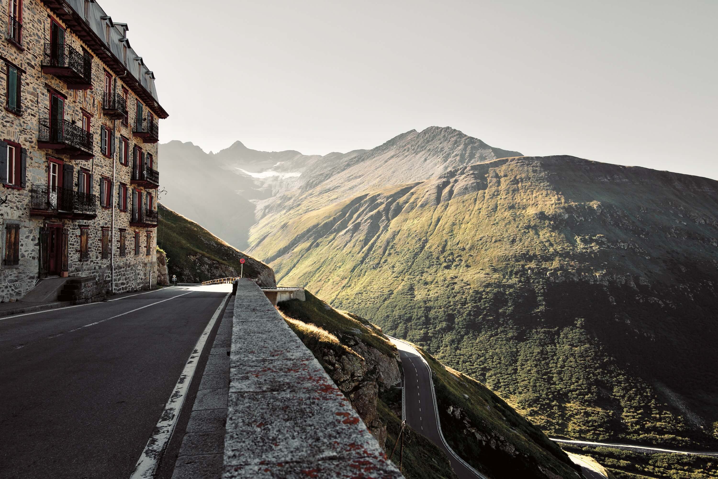
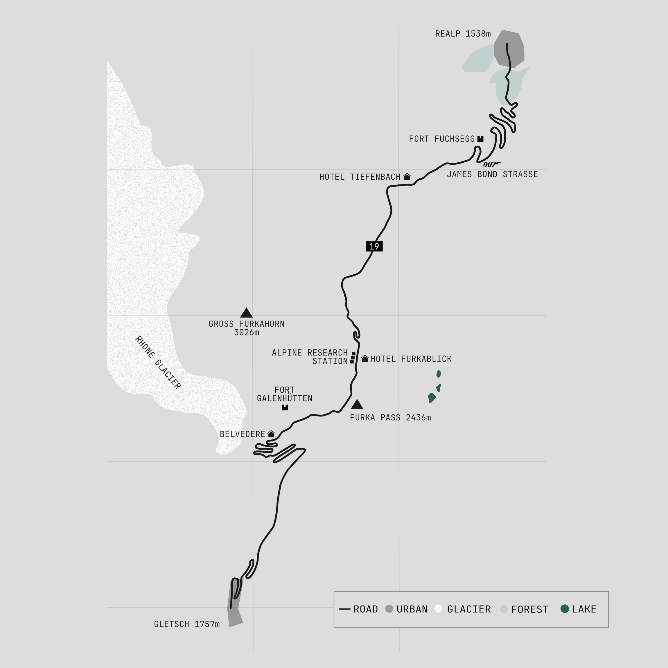
From Andermatt, the road follows the Urseren Valley to the village of Realp, where the ascent of the Furka Pass begins. A series of hairpins climb towards the long plateau that leads to the summit. The landscape is dotted with both hidden and obvious military installations, remnants of Switzerland's defensive past.
Among them is Fort Fuchsegg, a machine-gun bunker disguised as a traditional Swiss stable. Its colourful doors and windows are painted onto the concrete facade, creating an unusually convincing piece of military camouflage. The windows and doors are only painted details, and the cows are not welcome.
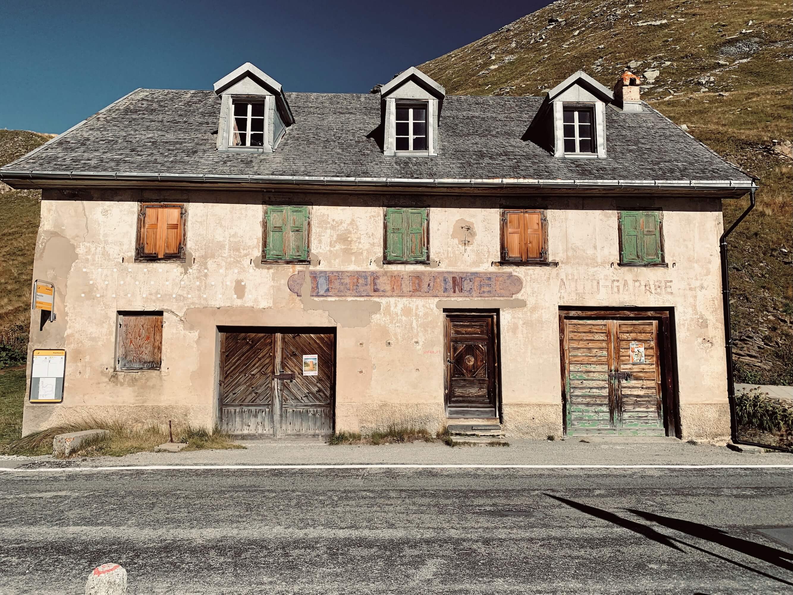
At the summit, three buildings remain from the former military camp Furkablik, built in 1917. Today, they form a centre for scientific research and education run by the non-profit organisation Alpine Research Station.
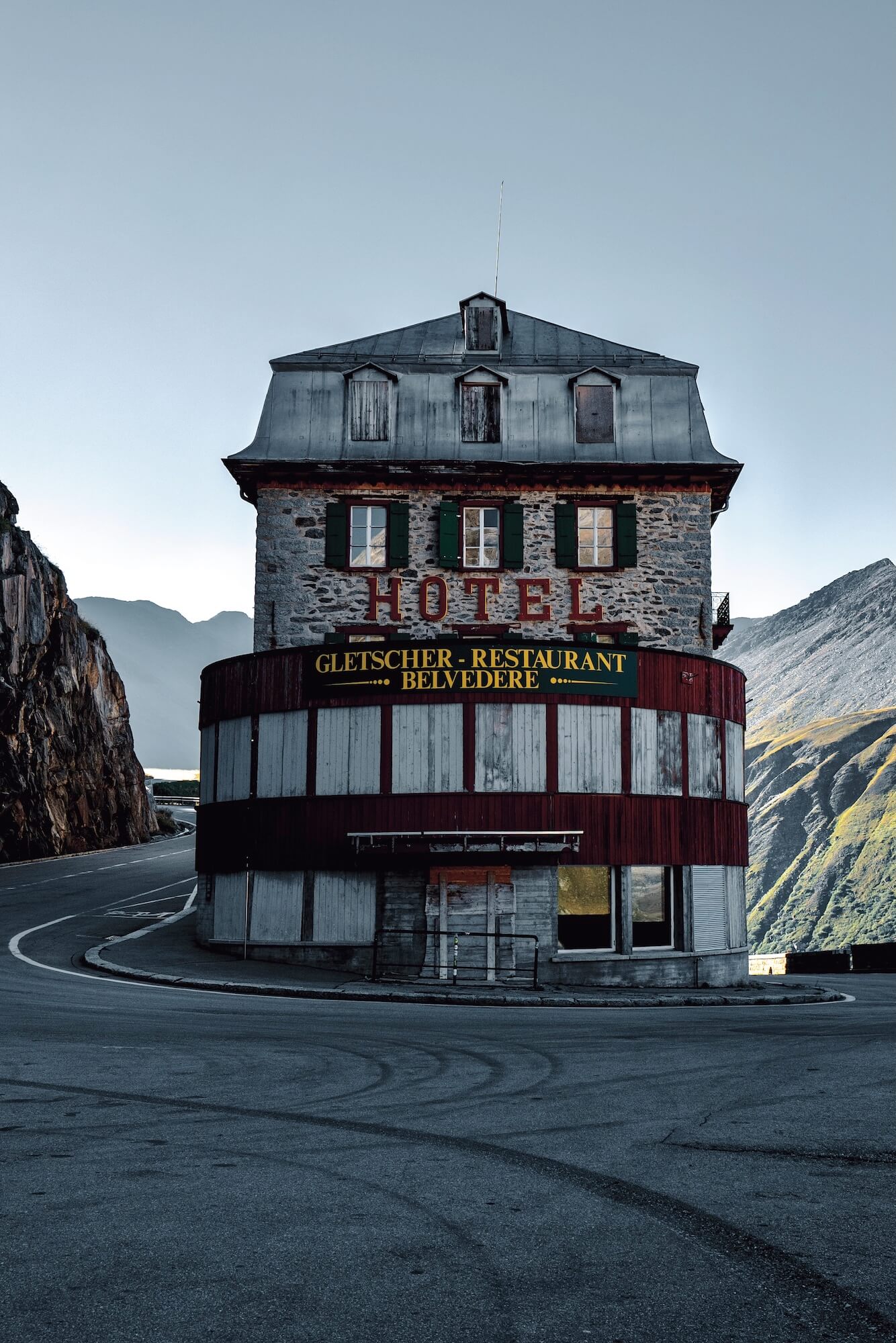
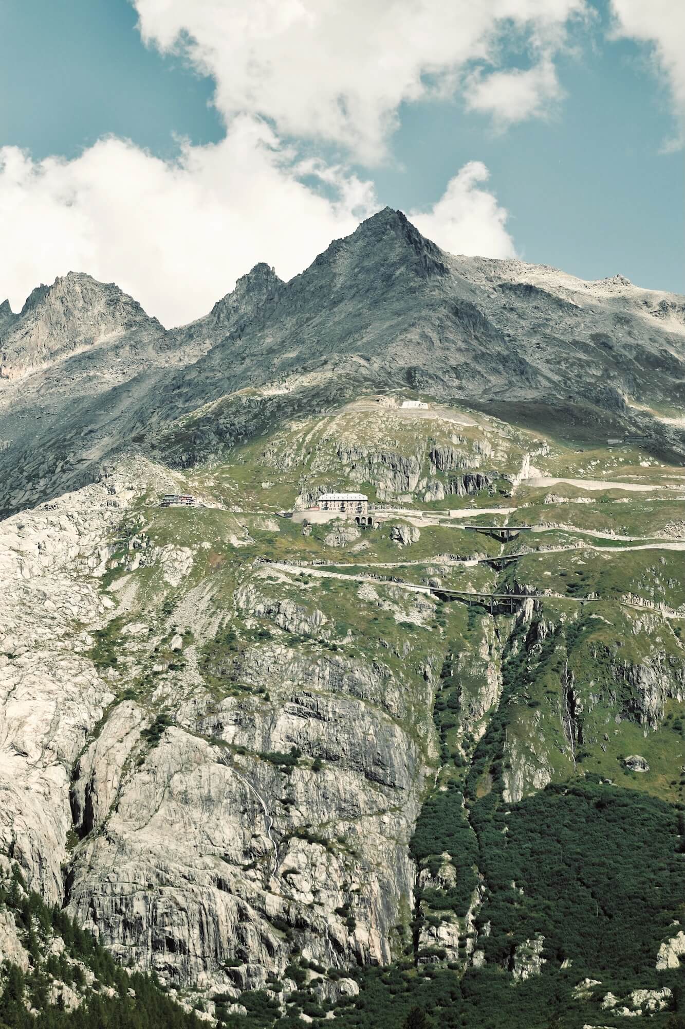
From here, the Furka begins its descent towards Gletsch, but not before the iconic Hotel Belvédère comes into view. Hidden from sight at this altitude, overlooking the Belvédère, is Fort Galenhütten, a brutal concrete gun emplacement. From a distance, it appears to be nothing more than another rocky outcrop in the pasture.
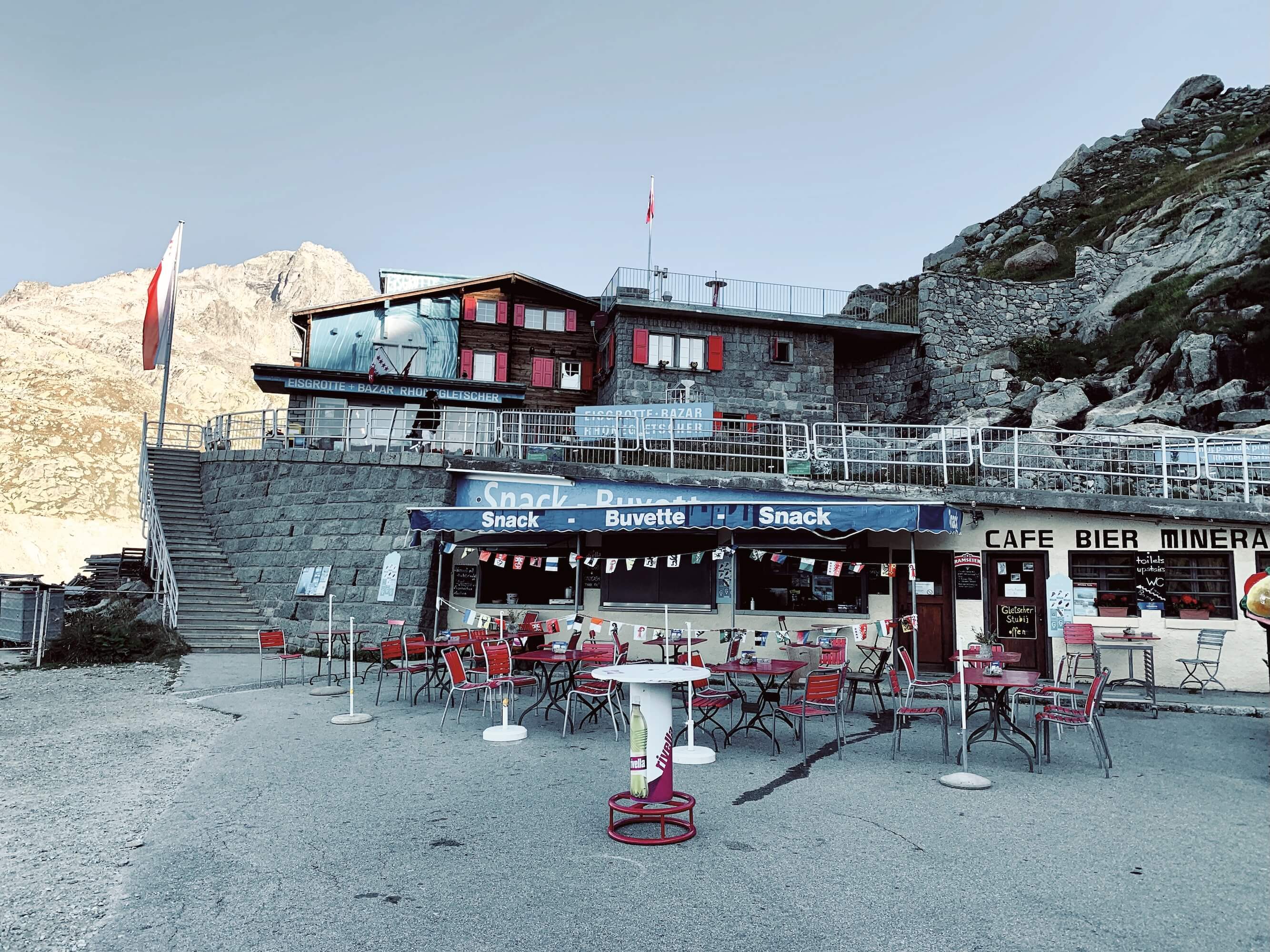
Across the hairpin from the Belvédère is parking, a café and the entrance to an ice grotto carved into the Rhône Glacier. Visitors can enter the glacier through the official route, although access requires a ticket. Barriers and fencing protect the site and ensure visitors enter through the designated entrance. The grotto offers a glimpse of what remains of a glacier that once dominated this landscape.
The Furka Pass remains one of the most historic and spectacular of the Swiss passes, combining dramatic Alpine scenery with traces of military history, geological change and cinematic fame.
Visiting Furka Pass
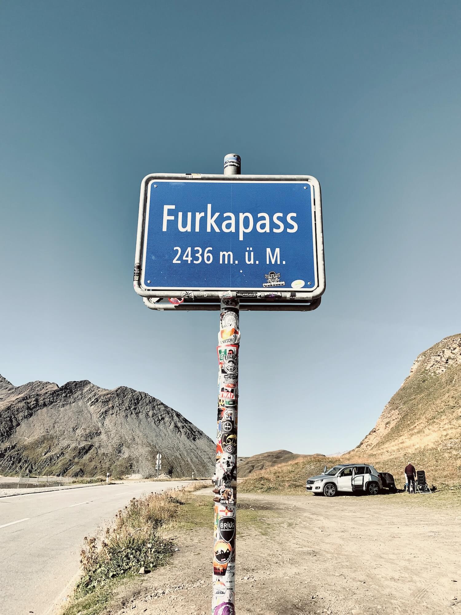
Furka Pass is a seasonal road and closes during winter because of snow. The pass normally opens between June and October, although exact dates depend on conditions. The road connects Realp in Uri with Gletsch in Valais and can be combined with the Grimsel and Susten passes to create the classic Andermatt Tour.
Furka Pass Map
Statistics
| Distance | 22 km |
|---|---|
| Summit Altitude | 2436 |
| Minimum Altitude | 1538 |
| Total Ascent | 881 |
| Total Descent | 661 |
| Road | Furkapassroute / Route 19 |
| Typical Opening Season | June to mid-October |