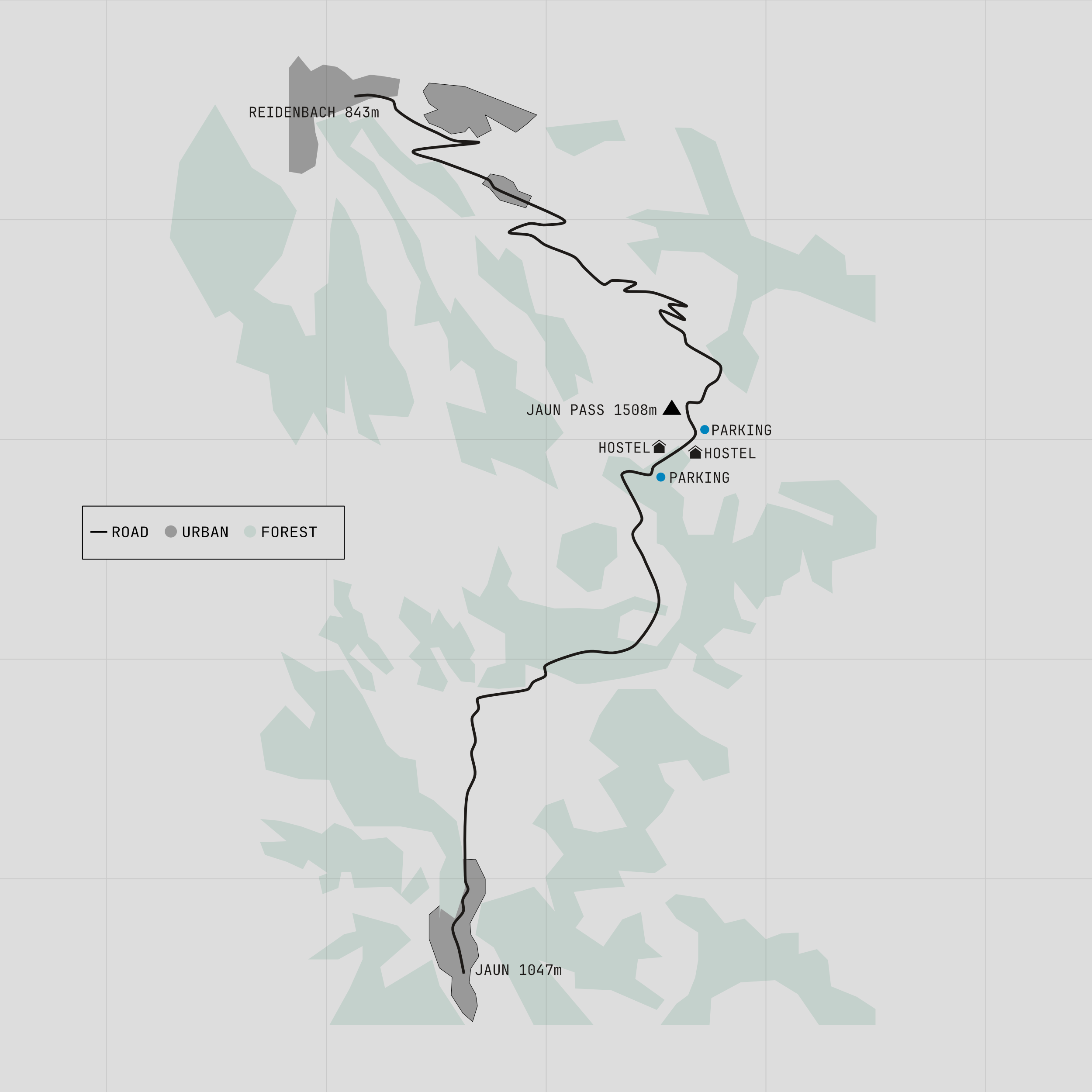
The Jaun Pass was completed in 1878 and today marks one of the points where Switzerland's German and French-speaking regions meet. Like several Alpine passes, it also played a role in national defence. During the Second World War, artillery fortifications were built in the surrounding mountains and carefully disguised as ordinary alpine huts.
The climb begins just beyond the village of Boltigen. From the first junction the road rises steadily through lush pastures, where cattle and goats graze on some of the greenest slopes in Switzerland. In fact, the Jaun Pass may be the country's greenest mountain pass. For much of the ascent, the landscape is almost entirely grass, forest and scattered farm buildings.
A series of switchbacks, supported by stone retaining walls, gradually gains height towards the summit. The views are unmistakably Swiss, rolling pastures in the foreground with higher peaks on the horizon. At the top, a small cluster of buildings includes restaurants, parking areas and a campsite. A short walk from the highest car park opens up a surprisingly expansive panorama. On the western side, the road descends more steeply, passing beneath cliffs before dropping into the village of Jaun.
Statistics
| Distance | 14 km |
|---|---|
| Summit Altitude | 1508 |
| Start Altitude | 843 |
| End Altitude | 1047 |
| Minimum Altitude | 837 |
| Maximum Altitude | 1508 |
| Total Ascent | 666 |
| Total Descent | 483 |
| Opening | All year |