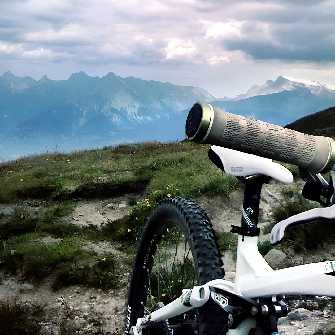
Le Brésilien was one of those mythic trails that you hear about but can never quite find, with stories of kilometres of glorious singletrack dropping from high in the Alps towards the Rhône valley, although nobody seemed able to explain exactly where the trail went or how to get onto it.
The start was fairly obvious, as was the end, but the considerable section in between proved rather more difficult to establish, despite several evenings spent studying maps of the area from the comfort of the sofa. Eventually, a chance conversation with a Swiss rider who had ridden the trail, and who happened to have a map, filled in some of the gaps. Shortly afterwards, and inevitably, I found it on the internet.
The ride is really made up of two parts, although the first is largely the price you pay for the second.
Starting in Chalais, the small cable car climbs to Vercorin, from where the route passes through the village to the next lift. This climbs in two sections, first to the intermediate station at Sigeroulaz and then above the treeline into the high mountains, arriving at Crêt du Midi with the Vallon de Réchy stretching away below.
From the top, the route initially descends on doubletrack before traversing towards the waterfall at Le Pichioc. We tried some of the singletrack alternatives along the way, although much of it proved difficult to ride, and eventually reached the point where the easy part of the day came to an end and the route began climbing towards the Col de Cou.
The climb to the pass was a tough combination of riding, pushing and carrying, gaining several hundred metres of height over rough ground and taking around an hour, which made it a thoroughly unpleasant experience with a mountain bike. Eventually, however, the pass appeared at more than 2,500 metres and, with the difficult part of the route behind us, the reason for coming this way in the first place finally began.
What followed was Le Brésilien proper.
The trail began high in the mountains, dropping towards La Combe on narrow singletrack before traversing through open alpine pasture and low vegetation, where the trail occasionally split into several possible lines and rocks hidden among the vegetation had an unfortunate habit of appearing just in time to catch a pedal or crank. Even so, the riding was already excellent, and as the trail gradually approached the treeline the anticipation of what might come next began to build.
Once inside the trees, it only became better.
The trail occasionally steepened but remained rideable, winding through the forest in long, uninterrupted sections of singletrack where it was easy to forget how far you had already descended and begin wondering where everyone else was and, more importantly, when the trail was finally going to end. Eventually it crossed a fire road, where keeping an eye open for a small Nax sign on a rock was essential before the route continued through alpine pasture and then dropped once more into the forest.
The singletrack eventually delivered us into Nax, although the descent was still far from finished. Finding the continuation through the village could be slightly confusing, but once the trail was picked up again it crossed open pasture before quickly returning to the forest, where a long series of pine-cone-covered switchbacks continued the descent towards the Rhône valley.
Eventually the trees began to give way to vineyards and the trail delivered us into Pramagnon, making the transition from high alpine terrain to the warmth of the valley feel rather abrupt. The mountains, the long push to the pass and the apparently endless singletrack were suddenly behind us, leaving only a short ride back towards the lift station in Chalais.
At the time, it was the best trail I had ever ridden. Swiss bliss indeed.
Route data
| Distance | 24 km |
|---|---|
| Ascent | 486 m |
| Descent | 2,260 m |
| High point | Col de Cou, c. 2,530 m |
| Start | Chalais |
| Finish | Pramagnon |