History
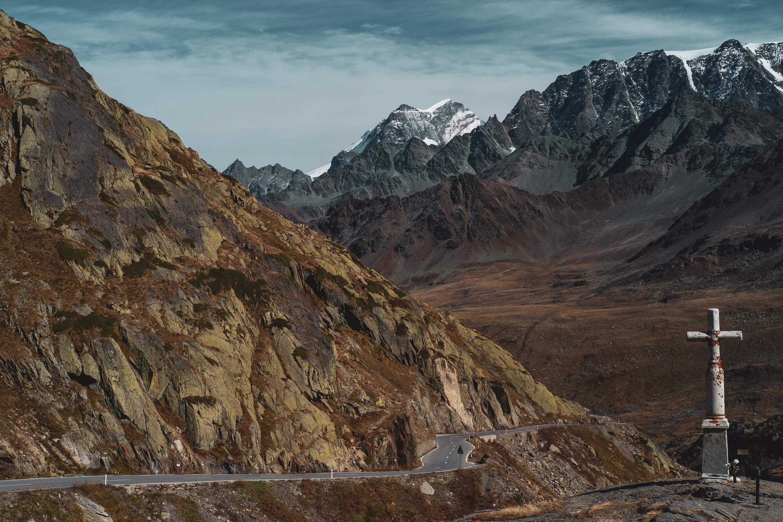
The Great St Bernard Pass links Switzerland and Italy across one of the highest historic Alpine crossings, and has served traders, pilgrims, soldiers and travellers for more than two thousand years. Long before modern tunnels and motorways, this high mountain route was one of the principal gateways between northern and southern Europe.
During the reign of Emperor Augustus, the Romans consolidated control of the pass and developed the route across the Alps. By the reign of Claudius, around AD 43, a substantial Roman road had been completed across the pass, with a way station and temple to Jupiter at the summit. In the eleventh century, Bernard of Menthon founded a hospice at the summit to provide shelter for travellers facing storms, deep snow and bandits. The hospice became one of the most famous refuges in the Alps and eventually gave both the pass and the Saint Bernard dog their names.
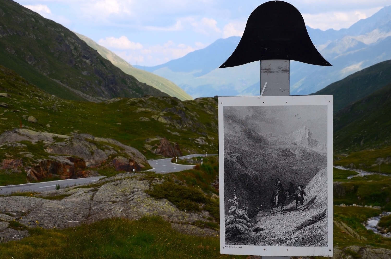
In May 1800, Napoleon Bonaparte led the Army of the Reserve across the Great St Bernard Pass during the Second Campaign of Italy. Around 40,000 men crossed the Alps over several days, moving through Bourg-Saint-Pierre and over the pass towards the Aosta Valley. Napoleon himself crossed on 20 May 1800, travelling from Bourg-Saint-Pierre on a mule accompanied by the local guide Pierre-Nicolas Dorsaz. He chose the pass because it was the shortest route, although the crossing was still delayed by deep snow and ice. Writers of the time compared the achievement to Hannibal’s legendary Alpine crossing, inspiring Jacques-Louis David’s iconic painting Napoleon Crossing the Alps (1801).
In the painting, Napoleon is portrayed on a magnificent white horse, rearing dramatically against the mountain landscape. The reality was rather less heroic. He crossed the pass on a mule, accompanied by the local guide Pierre-Nicolas Dorsaz. The passage was expensive for the communities along the route: Bourg-Saint-Pierre records a debt of 40,000 francs incurred by Napoleon's army, which it says was never paid. The Swiss, after all, do love their francs.
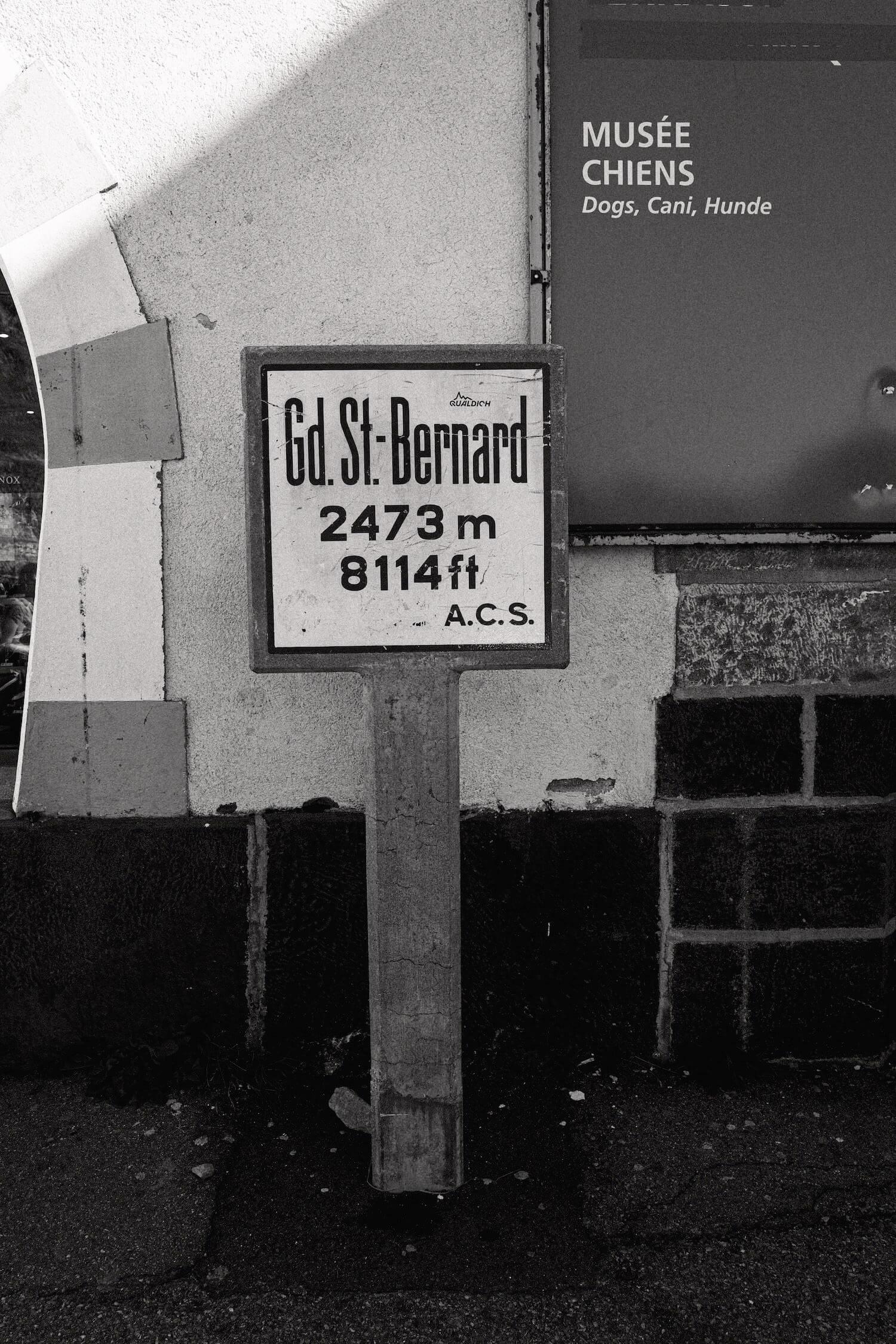
At 2,469 metres above sea level in Swiss topographic data, the Great St Bernard Pass is one of the highest paved border crossings in the Alps. Local tourism and hospice sources still give the elevation as 2,473 metres, the figure found on older summit signage.
Italian side
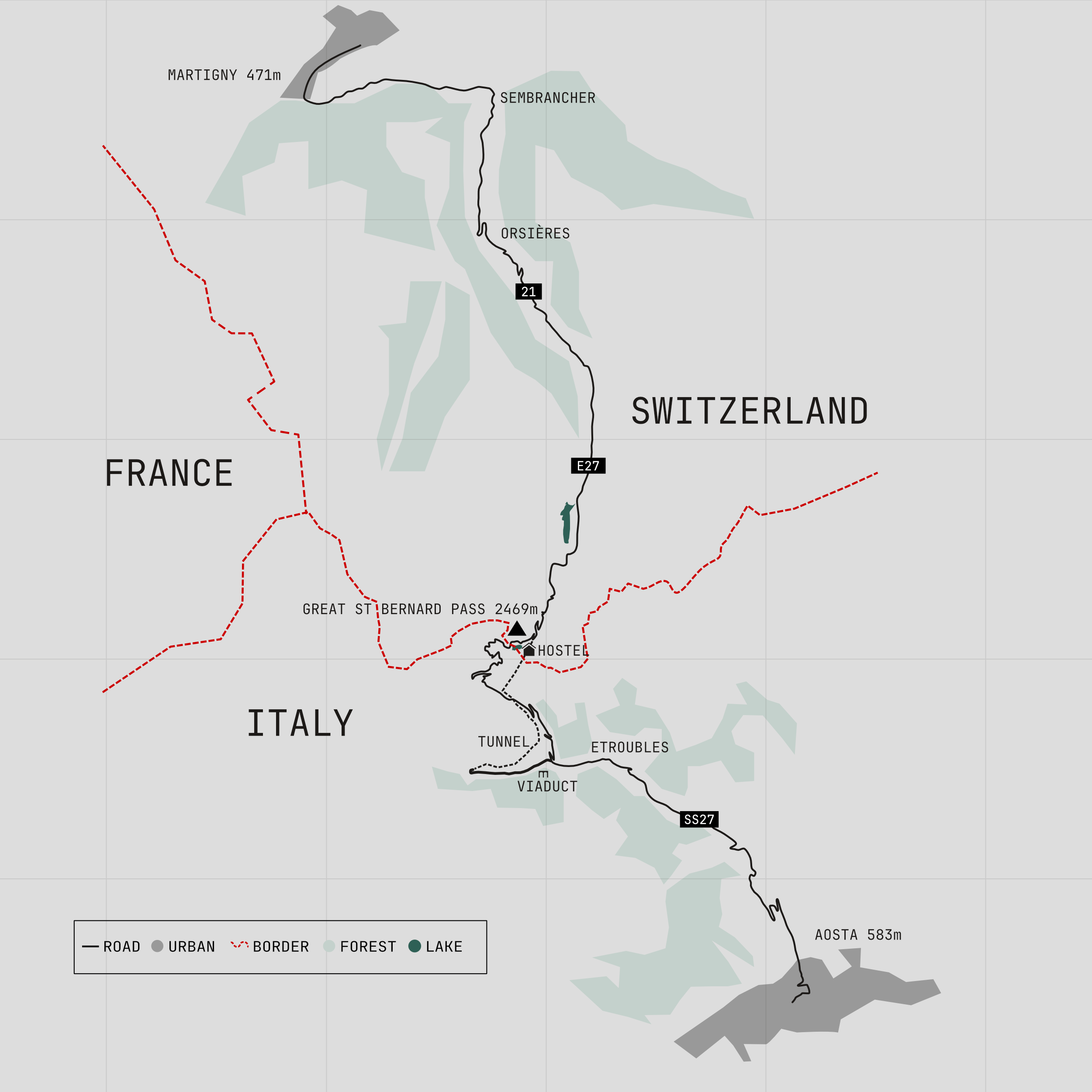
Approaching from Italy, the tunnel is prioritised by signage and it is easy to miss the historic route. Watch for the slip road branching right before the main tunnel approach. Drivers taking the tunnel bypass one of the route's most impressive engineering structures, the 305 metre Dardanelli Viaduct, built as part of the tunnel approach road and completed in 1964.
The climb begins at Saint-Rhémy-en-Bosses, the last permanent settlement before the summit. For centuries the village's Marronniers held the right to accompany travellers across the pass and provide safe passage through the mountains. Above the village, buildings and infrastructure gradually disappear as the road climbs through forest towards the high alpine landscape.
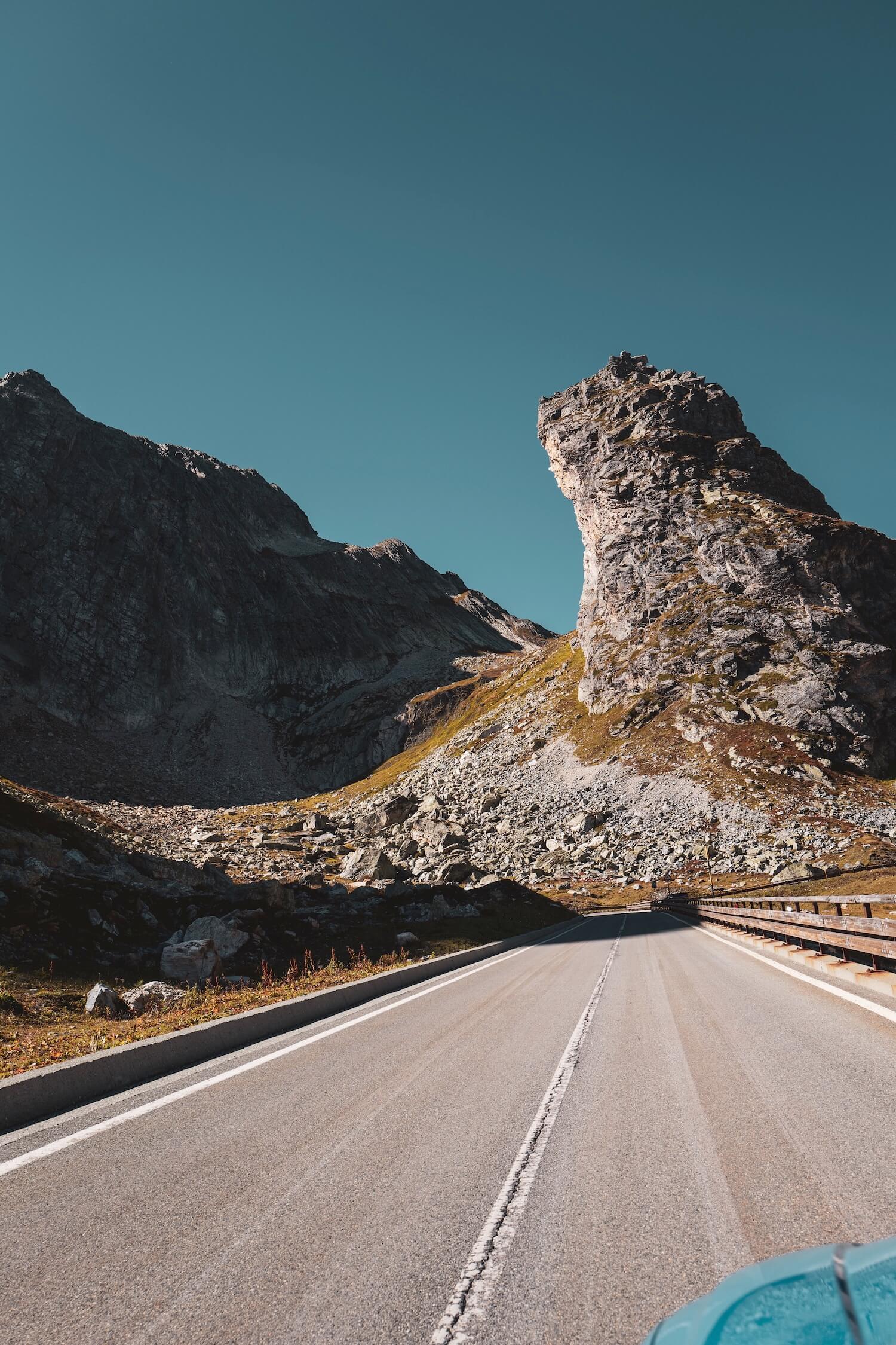
Occasional views of the tunnel approach road appear below before it disappears into the mountain. Above the tree line, open pastures and rocky slopes dominate the landscape. Distinctive rock formations such as the Tour des Fous rise above the valley floor. According to local legend, Saracen raiders once occupied these natural towers before Bernard of Menthon established the hospice. Above them stands the imposing Aiguille des Sasses. A short tunnel and a final series of bends lead to the summit.
The Summit
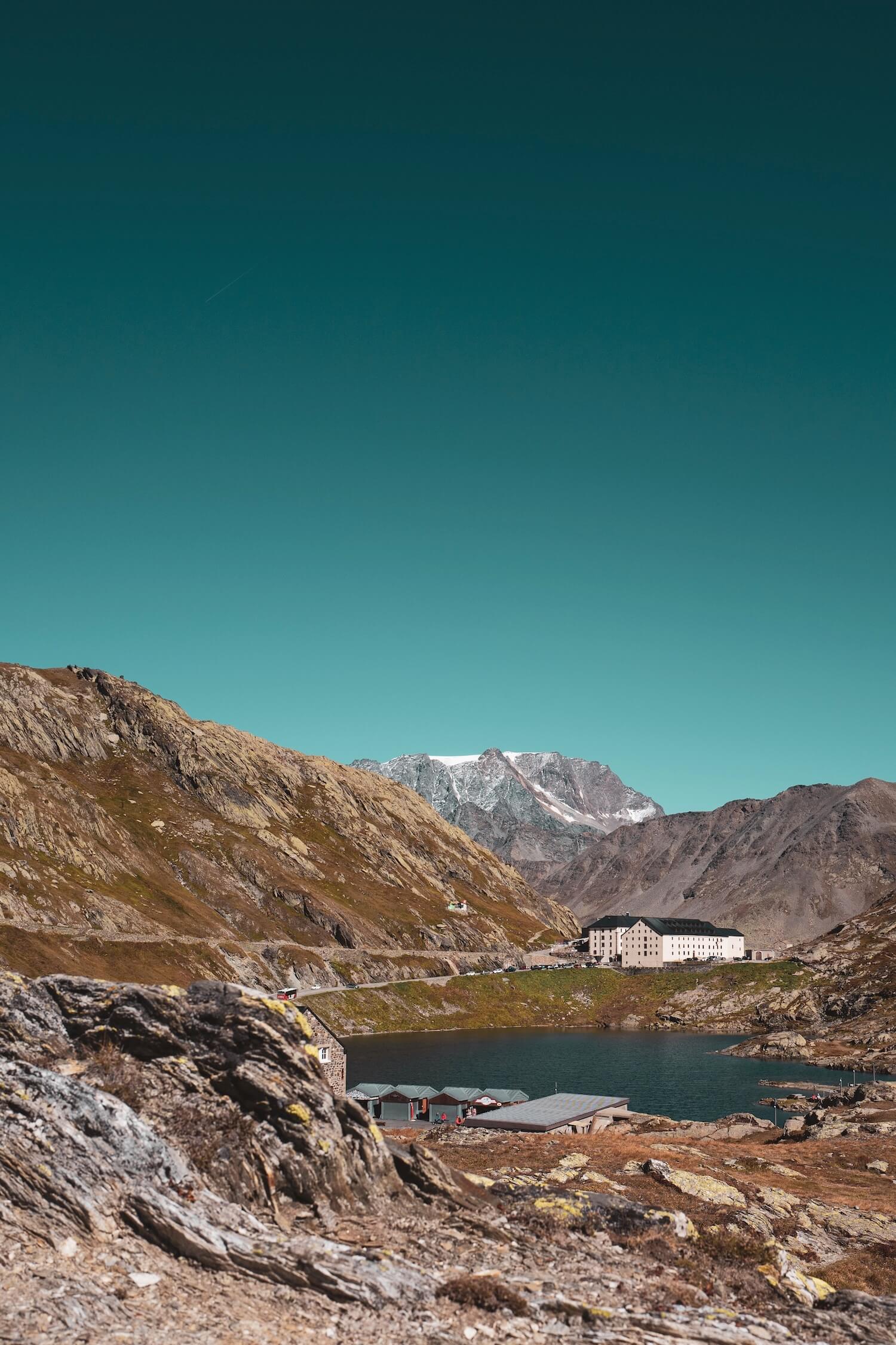
The border itself is understated. The former Italian customs post stands abandoned, while the Swiss border facilities sit beside the lake that occupies the summit plateau. Frozen for much of the year, the lake is surrounded by stone buildings, monuments and seasonal facilities that serve visitors during the summer months. A statue of Saint Bernard overlooks the Italian side of the pass.
The Hospice of the Great St Bernard stands on the far side of the lake and remains active today, welcoming travellers much as it has for nearly a thousand years. A community of Augustinian canons continues to maintain the hospice, preserving one of the Alps' oldest traditions of hospitality.
Nearby exhibitions explore the history of the famous Saint Bernard dogs. Large mountain dogs were kept at the hospice from the mid-17th century and were soon being used to locate and assist travellers lost in snow and fog. The most famous of them, Barry, became one of the best-known rescue dogs in history. He was later preserved and exhibited at the Natural History Museum in Bern. Probably not the reward he was expecting.
Swiss side
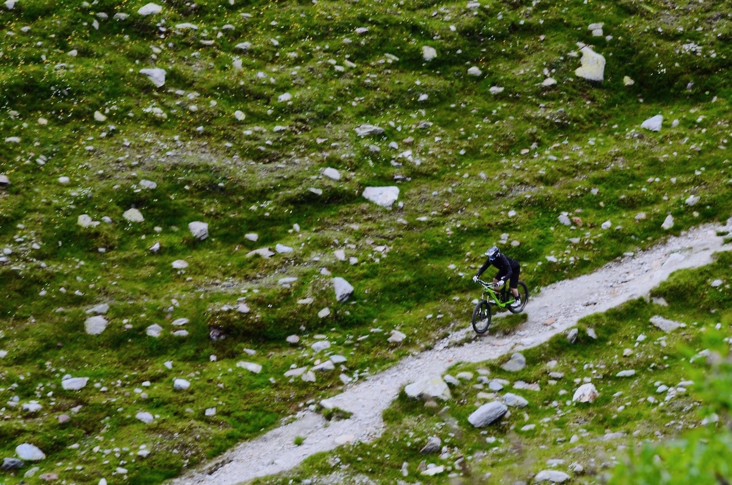
Crossing into Switzerland, the Italian SS27 becomes Swiss Route 21 and the character of the road changes immediately. Rocky pastures, scattered boulders and broad mountain views create a classic Alpine landscape. Footpaths crisscross the slopes while ventilation towers from the tunnel emerge unexpectedly among the meadows.
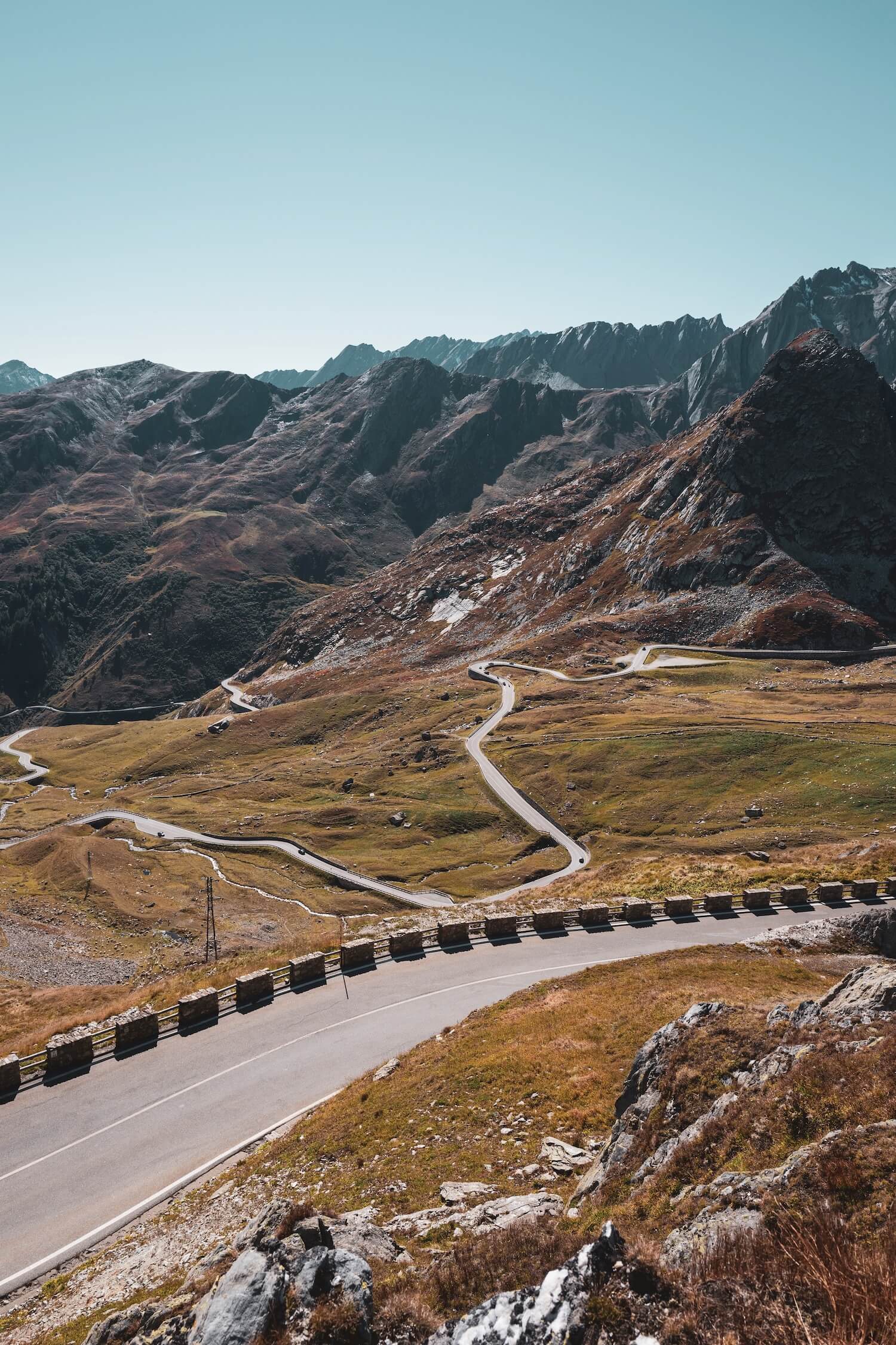
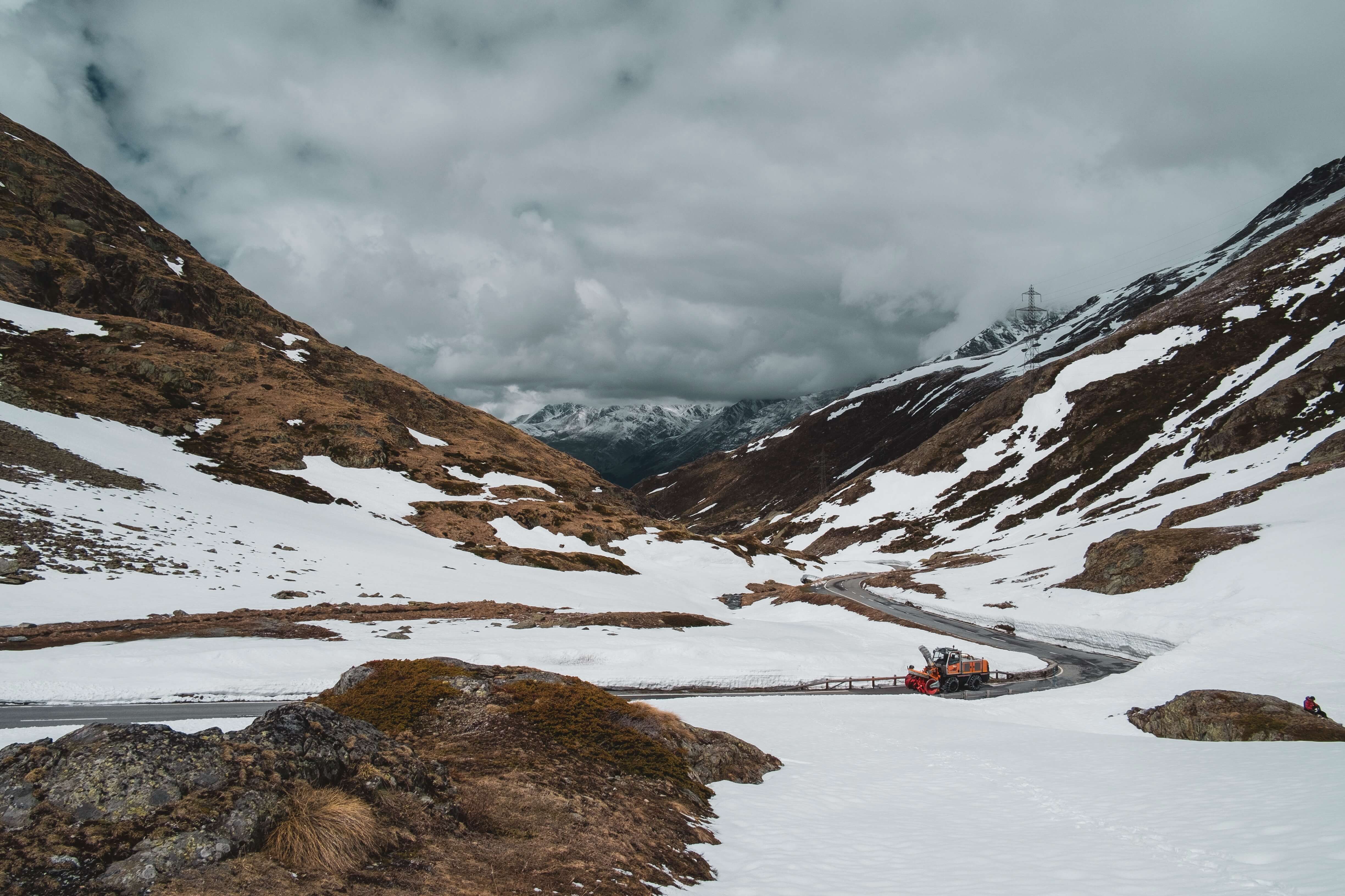
The descent towards the Rhône Valley is steeper and more technical than the Italian side. Hairpins fold down the mountainside as the road passes beneath ventilation structures and through exposed alpine terrain. Near the northern portal of the tunnel, the old pass road rejoins the modern route.
Beyond the summit region, a series of avalanche galleries protects the road from winter snow and rockfall. These concrete structures frame intermittent views of the Lac des Toules reservoir before the road descends through Bourg-Saint-Pierre and Liddes. Gradually the route drops below the tree line and follows the valley floor to Sembrancher, where the road divides towards Martigny and the lower Rhône Valley.